
Before you go
Your trip to Bertioga.
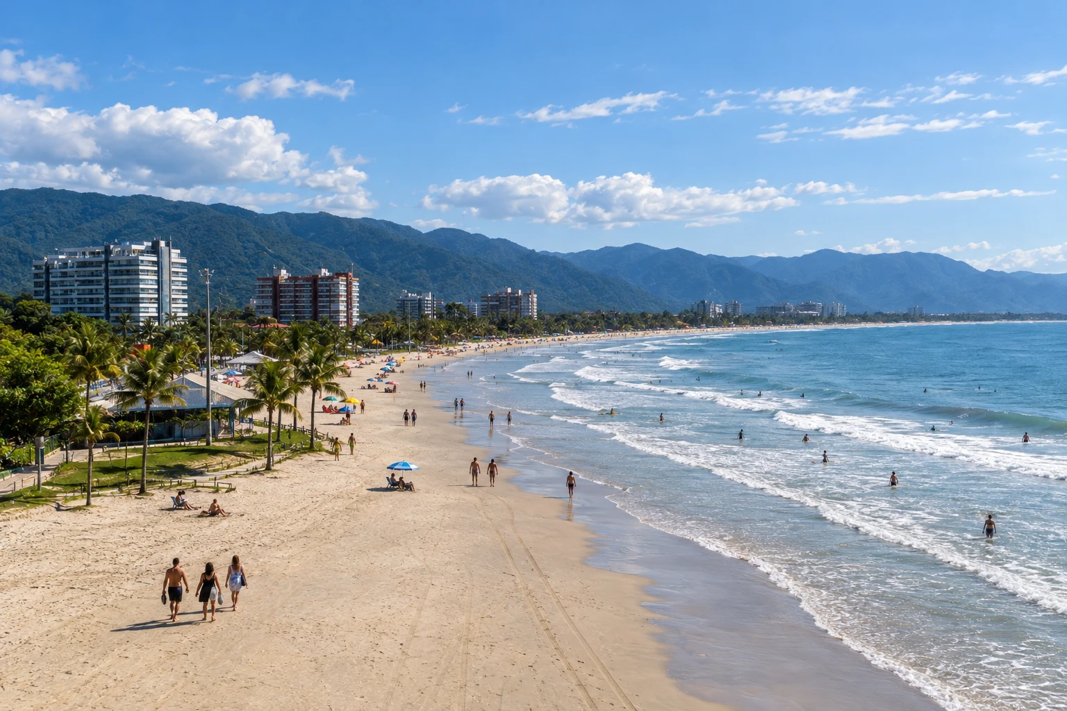
Illustrative images. The pictures in this guide are illustrations based on the real place, not photographs, and may differ from it.

Bertioga – SP Destination Costa da Mata Atlântica
How to get there
-
Terminal Rodoviário de Bertioga Bertioga
Approximate road distances. Check flights and bus schedules before you travel.
Bertioga has a municipal bus terminal; confirm the line and drop-off point before traveling. Access via Rodovia Rio-Santos leads to the different neighborhoods, while Forte São João and Parque dos Tupiniquins are in the centre, next to the canal.
How many days
Two days in Bertioga allow for a programme of the fort, park and Enseada, followed by a visit to Itaguaré. With more time, add a trail that has been arranged in advance, respecting the required accompaniment rules.
When to go
For Bertioga, check the forecast and bathing conditions before choosing a beach. Trail activities require confirmed access; check the reception at Forte São João and the requirements for the nature tour.
Do you need a car?
Car or local transport helps connect Bertioga's neighborhoods and beaches. The fort and Parque dos Tupiniquins can make up a combined outing in the centre; Itaguaré requires a separate transfer to the chosen access point.
Suggested itinerary
An order that works
Built with the places on this page. No rush: it's paced so you have time to see them.
One day in Bertioga
-
Morning
Fort by the canal
Visit Forte São João with reception confirmed and observe its relationship to the defense of access to the canal.
-
Afternoon
Parque dos Tupiniquins
Walk the park's available boardwalks and learn about the reference to Cunhambebe before heading out to Enseada.
-
Late afternoon
Enseada waterfront
Choose a stretch of the Enseada waterfront for a walk, checking local conditions before entering the sea.
-
Evening
Night in the neighbourhood of your accommodation
Return to your base in Bertioga and arrange onward transport, taking into account the distance between neighborhoods.
2 days in Bertioga
Day 1
-
Morning
Heritage of Bertioga
Start the two-day itinerary at Forte São João and with the landscape of the Canal de Bertioga.
-
Afternoon
Park and Enseada
Visit Parque dos Tupiniquins and continue with a walk along the central area of Praia da Enseada.
-
Late afternoon
Canal and public space
Observe the movement of the canal from permitted areas, without approaching embarkation operations.
-
Evening
Preparation for Itaguaré
Confirm access to Itaguaré and whether the visit will be beach-only or will also include the available trail.
Day 2
-
Morning
Praia de Itaguaré
Get to know Itaguaré's coastal landscape, staying on permitted access routes and out of the restinga vegetation.
-
Afternoon
Itaguaré trail
If conditions and availability allow, walk the Itaguaré trail following current guidance, without adding other unplanned routes.
-
Late afternoon
Return from the restinga outing
Leave Itaguaré with time to return to your accommodation and skip another distant beach during that period.
-
Evening
Departure from Bertioga
Check the transport you've reserved and prepare the continuation along the Rio-Santos or the return to your point of origin.
Check before you go. Opening hours and days change, and places may close for renovations, holidays or events. This itinerary is a suggestion from Cidade Turismo, not a commitment: plan yours by checking directly with each place you intend to visit.
Before you go
Frequently asked questions
Where to combine history and walking in Bertioga?
Forte São João is located in Parque dos Tupiniquins, between Praia da Enseada and the Canal de Bertioga. These points of interest can be included in the same central visit.
Can any trail in Bertioga be done without a guide?
No: The Itaguaré trail is listed as self-guided; the other trails in the municipal programme require accredited accompaniment. Confirm the rule for the route you select.
Is Itaguaré an extension of the central walking tour?
Don't count on that: the beach has its own access in another stretch of the municipal coastline and requires planned transport.