
monument · Cuiabá, MT
Centro Geodésico da América do Sul
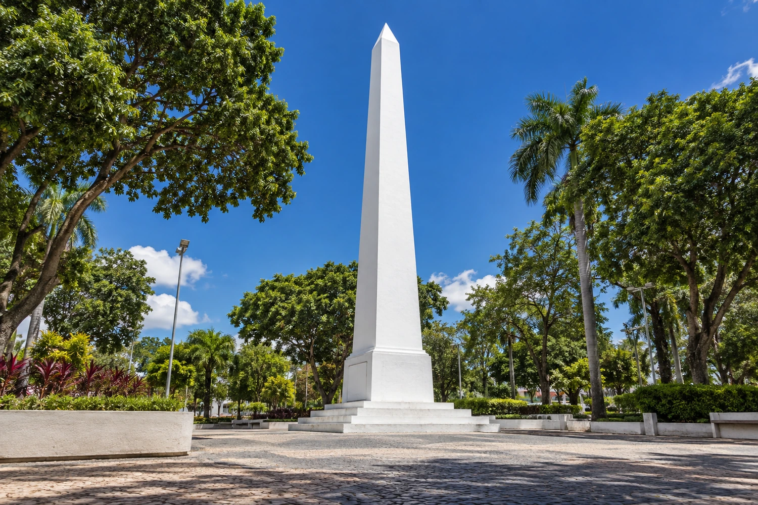
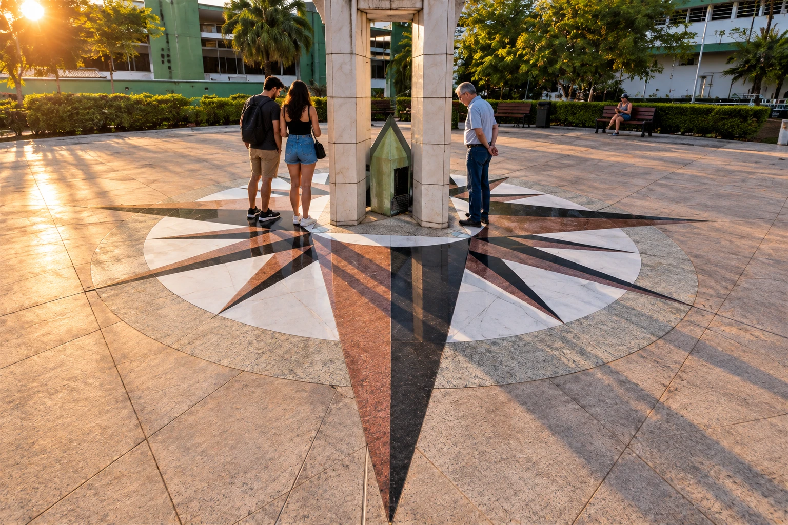
An obelisk on Praça Pascoal Moreira Cabral that marks the point Marshal Rondon calculated in 1909 as the center of the continent. The original marker is still visible inside the monument, which appears on the city flag.
Illustrative images. The pictures in this guide are illustrations based on the real place, not photographs, and may differ from it.
Discover
About Centro Geodésico da América do Sul
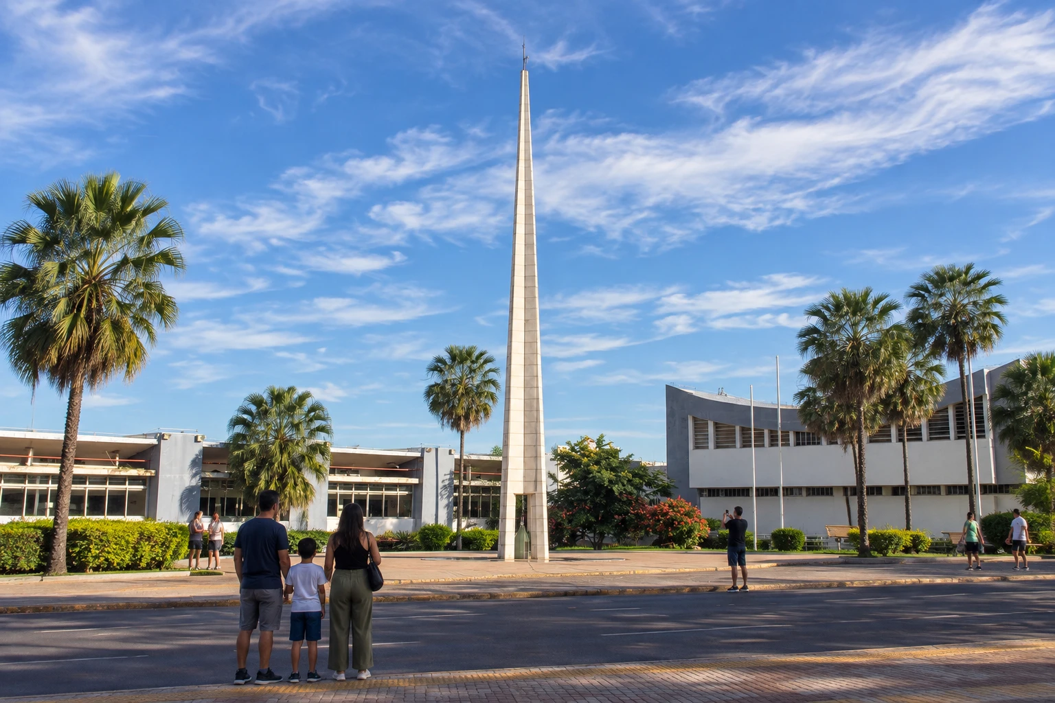
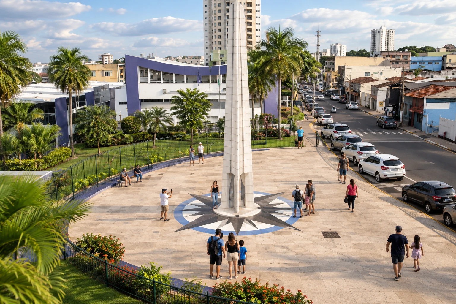
The Centro Geodésico da América do Sul is an obelisk in downtown Cuiabá (MT) that marks the point Marshal Cândido Rondon calculated in 1909 as the center of the continent. It stands on Praça Pascoal Moreira Cabral, in front of the City Council building, and is one of the city's symbols: the monument appears on Cuiabá's flag.
The square, formerly called Campo d'Ourique, once hosted horse races and bullfights. Rondon's original marker has been preserved and can be seen inside the obelisk, built on the same spot decades later.
The exact location of the continent's center is a matter of debate. Army calculations confirmed Rondon's coordinates, but some modern measurements point to another spot, near Chapada dos Guimarães, where the Mirante do Centro Geodésico (viewpoint) is located. In Cuiabá, the marker in the square remains the official reference.
The visit is quick and outdoors: you can see the obelisk, read the plaques with the coordinates and take photos. It is a good spot to include on a walking tour of downtown, near other historic sights in the city.
Before you go
Practical information
How much time to set aside
About 15 to 20 minutes is enough to see the obelisk, the original marker and the plaques.
Best time
Early in the morning or late in the afternoon, to avoid Cuiabá's strong sun; in the dry season, from May to September, the sky is usually clearer for photos.
How to get there
It is on Praça Pascoal Moreira Cabral (square), in downtown Cuiabá, next to the City Council. From the historic center you can walk; from other neighborhoods, there are buses through the central area and ride-hailing apps.
Tip
Bring water and a hat, because the square is open and the sun is strong. Make the most of it by combining the visit with the Cathedral and the downtown squares.
A look at the place
Centro Geodésico da América do Sul in pictures
These pictures are illustrations based on the real place, not photographs. They may differ from the place.
Click the picture to enlarge it.
Get your questions answered
Frequently asked questions about Centro Geodésico da América do Sul
Where is the Geodesic Center of South America?
In downtown Cuiabá, on Praça Pascoal Moreira Cabral, in front of the City Council.
Is there a fee to visit the Centro Geodésico?
No. The obelisk is in an outdoor public square, and the visit is free.
Who calculated the center of South America?
Marshal Cândido Rondon, in 1909. The original marker he left can be seen inside the obelisk.
Is the geodesic center in Cuiabá or in Chapada dos Guimarães?
Rondon's marker is in Cuiabá and was confirmed by Army calculations, but some modern measurements point to another spot, near Chapada dos Guimarães. The subject is still debated.
How long does the visit take?
About 15 to 20 minutes. It is worth combining with a walk through the historic center.